7/30/2018 Gladys Lake –> Duck Pass
I woke up early and got going, eager to get to Red’s Meadow as soon as possible. Most people have cell service here, but I discovered when I dropped off my resupply that I did not. But I could pay $8 for a bus ride down into Mammoth, where I knew I did have cell service. I didn’t really want to pay for it, but it would be really nice to check in with my family and possibly call them. Also, I was running out of podcasts and it would be nice to download some more!
After hiking for a little while, I approached a really long downhill switchback and I decided to start running because it was actually a little bit easier than walking down, and the faster I went, the sooner I’d get to Red’s Meadow! I ran down the majority of the switchback then resumed walking. A few minutes later, someone passed by me then stopped and turned around. It was Matt from Lyell Canyon a few days before! I said hi and asked if he had lost Jarad. He said that Jarad was a little bit behind him and was suffering from some blisters. We hiked on together and talked about the last few days. I learned that he was the guy lounging near the hammock at Rosalie lake the day before who had waved to me. He recognized me because of my makeshift rainbow gaiters, which I thought was pretty funny!
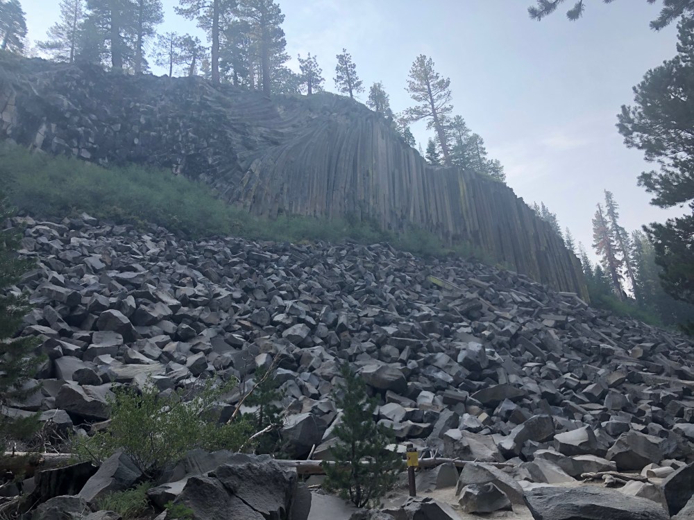
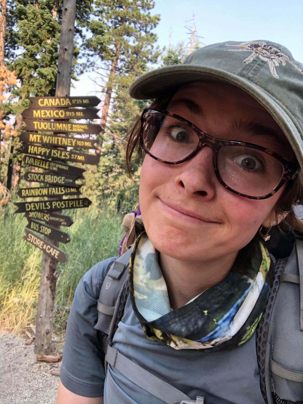
Eventually, Jarad caught up to us and we all hiked together. Their pace was a lot faster than mine, and it really kicked my butt to keep up with them, but I appreciated it because I would have been a lot slower without them! We soon made it to Devil’s Postpile and took a few rushed pictures because we were eager to get to Red’s. After a grueling uphill, we made it to Red’s Meadow, just before 9am!

My goal for the night on paper was Purple Lake, but that would mean 4000+ feet of elevation gain with a newly resupplied pack. The guys had a goal of Deer Creek (or Duck Pass, if they still felt good enough at Deer Creek) which cut off about 1000 feet and 5 or so miles, depending on where we ended up. This sounded a lot more doable to me, so I decided I would stick with them if the timing worked out, or at least try to meet them there that night.

Jarad had cell service and he let me use his phone to call my family. I called my mom and dad but they didn’t answer (they were at work, plus I was calling from Jarad’s phone so they wouldn’t recognize the number) then I called my grandma and she answered! It was really nice to hear her voice and I told her about some of the adventures that I had so far. I didn’t want to take up too much of Jarad’s time and I knew he probably wanted to call his loved ones as well, so I hung up and finished repacking my bear can with my resupply.
I told Matt and Jarad that I was still thinking of heading down to Mammoth to download some podcasts and text an update to the rest of my family, but Jarad let me use his hotspot so that I wouldn’t have to take the bus down to mammoth. This was actually a lot better because going to Mammoth would have taken a lot of extra time in the day, and I probably would have had to hike into the night to make it even close to where I wanted to get to, not to mention that if I went down into Mammoth, I might not have ever come back up, it is a lot easier to quit when you’re already down in civilization. Even if I did come back up to Red’s I’d probably have to stay the night there, putting me about two days behind schedule and adding to the chance that I wouldn’t be able to finish the trail on time. I erred on the side of safety and just used the hotspot.
With my podcasts replenished, a few more episodes of The Office downloaded, and my bear can newly heavy and loaded with 6 days worth of food, I pulled on my much-heavier pack and headed out and away from Red’s, knowing that this would likely be the last chance for cell service for the rest of the trip. I felt ready if a little bit reluctant. As we left Red’s, someone came hiking from the other direction and remarked,
“Nice to see some blue skies for a change!”
Uh oh. That didn’t sound like a good sign. I wish I had checked the weather when I was connected to the hotspot. *gulp*
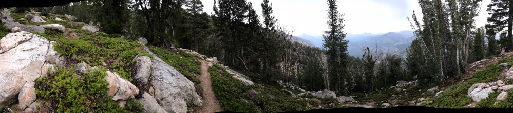
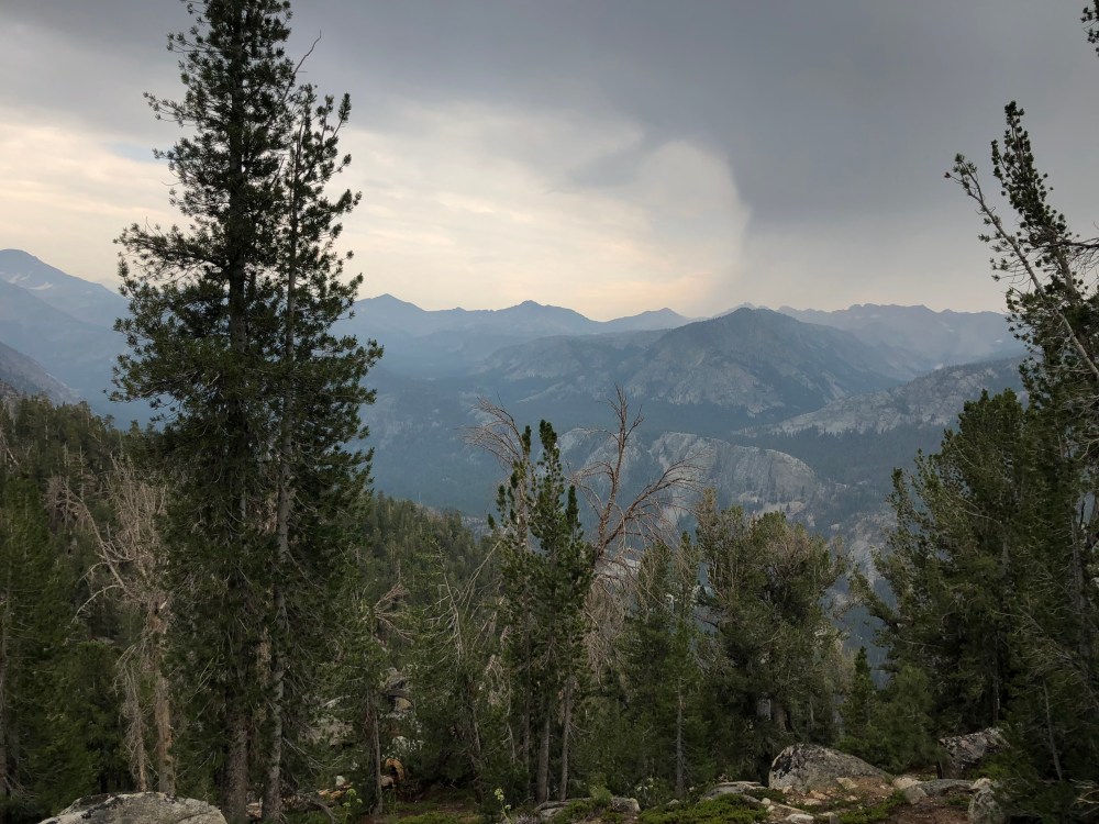
There were some pretty tough switchbacks right after Red’s and I tried to keep up but soon lost sight of my new friends. I hoped that they would wait for me when they took a break but knew that I would eventually see them at Deer Creek (and if not there, then I’d see if I could make it to Duck Pass). I hiked alone for a while at my own pace. About halfway to Deer Creek, I noticed that there were a lot of dark clouds gathering on the horizon and soon enough I heard thunder booming. Great. I took a quick break to eat a snack and pulled out the rain cover for my pack, and made sure that my rain jacket was accessible just in case.
When I got to Deer Creek I was pretty hungry. I ate lunch and looked around for Jarad and Matt. They were nowhere to be seen. I assumed they had gotten here and felt good and continued on. I pulled out my map and saw that Duck Pass was *only* another 5 miles away. I was still feeling pretty good and decided to go for it, after resting and eating a bit. The map also told me that there were no water sources between Deer Creek and Duck pass, so I should fill up on water now. I still had some water in my bladder (the hiking one, not the one inside me) and I also had two 1-liter SmartWater bottles that were completely full, so I figured I’d be fine and headed on up the trail.
Five miles feels a lot longer when you’re paranoid about running out of water but I made it more than halfway before I even had to start using the SmartWater bottles. The sky continued to darken and the thunder got louder and more frequent. Along the way, I kept leapfrogging an older hiker who kept urging me to put on my rain jacket before it started to rain. I assured him that I would put it on when it actually started raining and hiked faster to get away from him telling me what to do. I knew from experience that my rain jacket was great when it was actually raining, but kept heat in and would get pretty sweaty and I didn’t want to deal with that while hiking.
Eventually, it did start raining so I put on my jacket. I hoped that the rain would stop soon, I really didn’t want to have to put up my tent in the rain! But hey, at least I had an alternate water source if I did run out, I could lick water droplets off of my jacket if I got desperate (sarcasm).
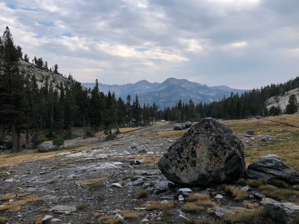
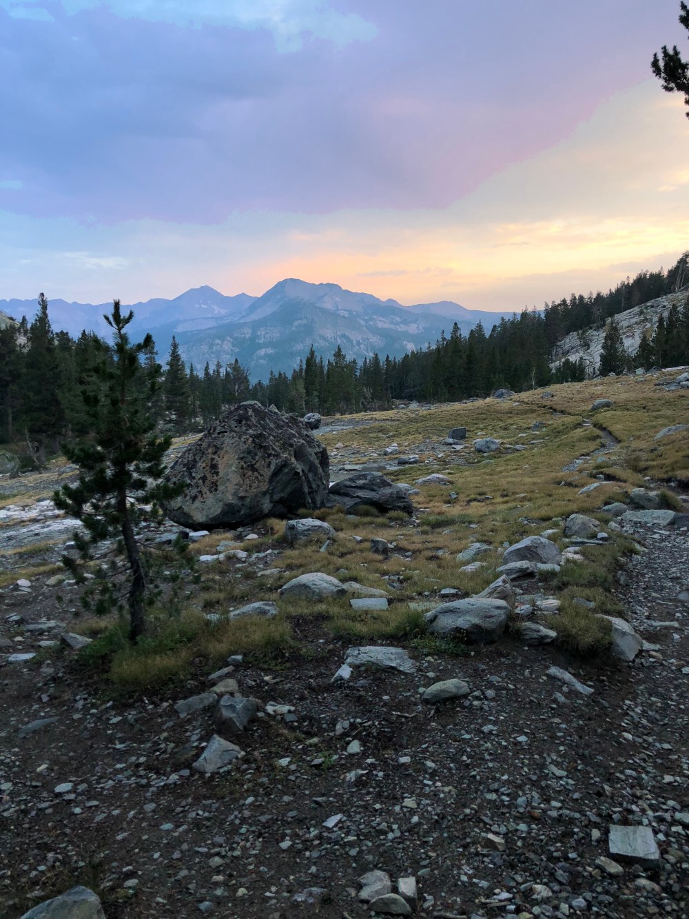
I came up to Duck Pass right as the rain stopped and took in the gorgeous views of the valley just below. It was breathtaking. I looked around for Jarad and Matt and saw a tent set up just below the place that marked Duck Pass on the map, so I walked over. It wasn’t Jarad and Matt, but it was a super nice couple from Hawaii who shared a Nutter Butter with me and invited me to set up camp right next to them. I don’t remember their names but they were very friendly. I asked if they had seen two guys around my age go by earlier and they said they had been napping to avoid the rain so they hadn’t seen anyone. Oh well. I was tired and didn’t feel like going any further, plus it was starting to get dark so I set up camp and made dinner, accepting that the guys were just more fit than me and could handle larger distances. Maybe they’d take a fishing break and I’d run into them again later.
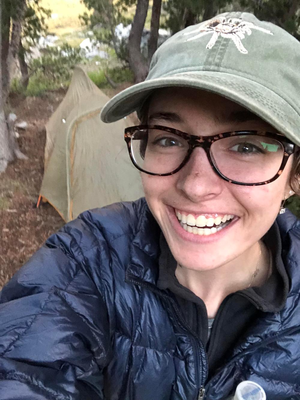
I ate my chicken pasta primavera (delish!) and enjoyed the sunset and had a packet of honey for ‘dessert’. I’m feeling optimistic about tomorrow and hoping that the weather cooperates. I don’t really mind rain but would definitely prefer to hike in the sun and not have to deal with wet gear in the morning!
Thanks for reading!
-Pepper
Stats:
~19 Miles
No elevation information, unfortunately, will try to simulate it.